Saturday, September 16, 2017

Back to work. Magic & Logic.

  Plenty of work in my little studio, plus teaching, plus working my negatives through pyrocat and proofing them.  All the time new ideas.

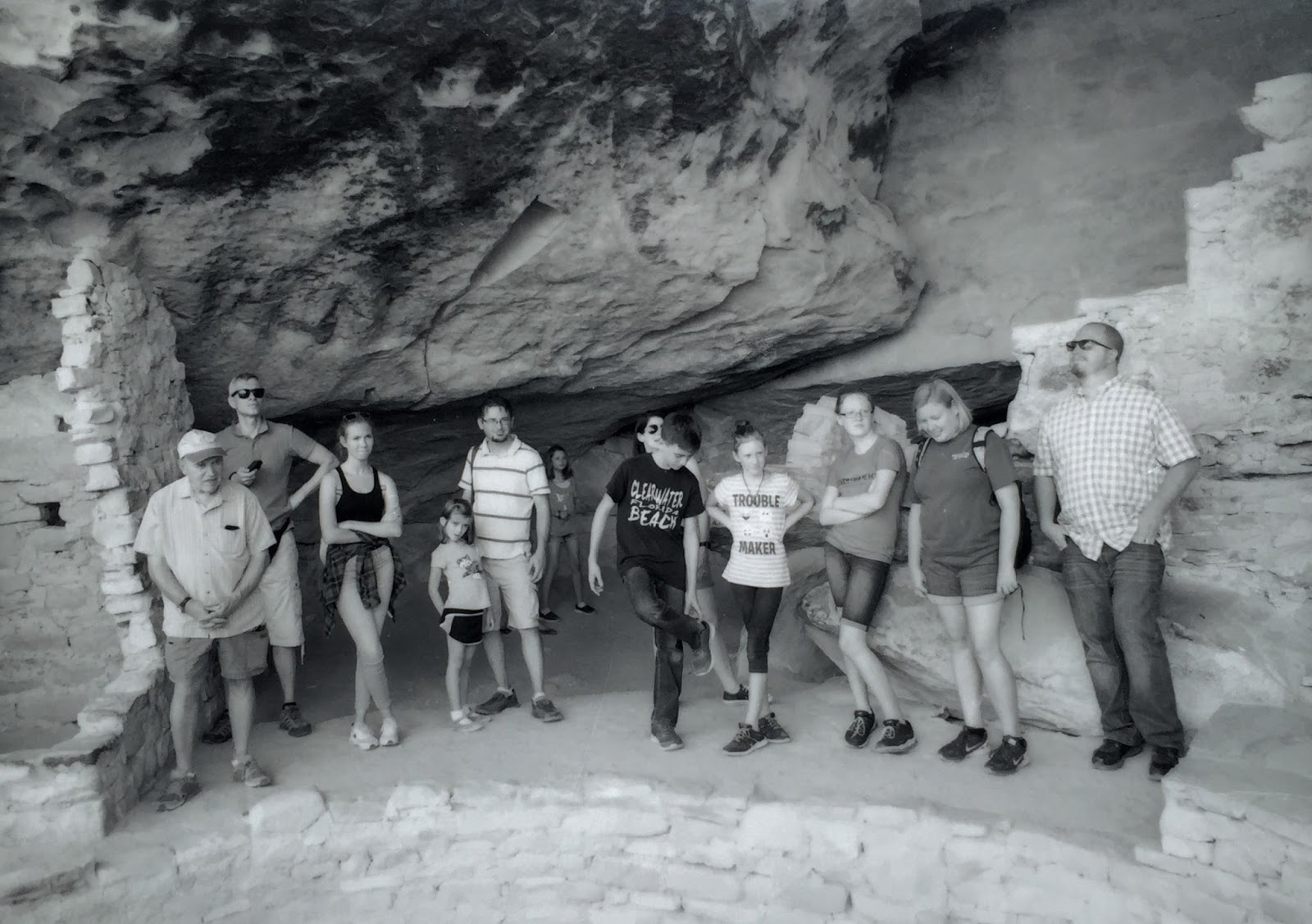
I tried putting some double exposures in a still life.  It's undergoing the mat/wall test now.  Holding up OK.  Had a couple of these combinations with landscape from the trip out West.  The moon exposure didn't work.

Puzzle pistol.

Scissor wrap. (gen II)

Cindy and I wander estate sales most weekends.  I'm looking for...things.  If asked, I just say I'm trying to find a good pair of toenail clippers.  I've been adding to my scissor pile.  This was a sudden idea out of nowhere.  This is the second generation.  The third generation is waiting development.

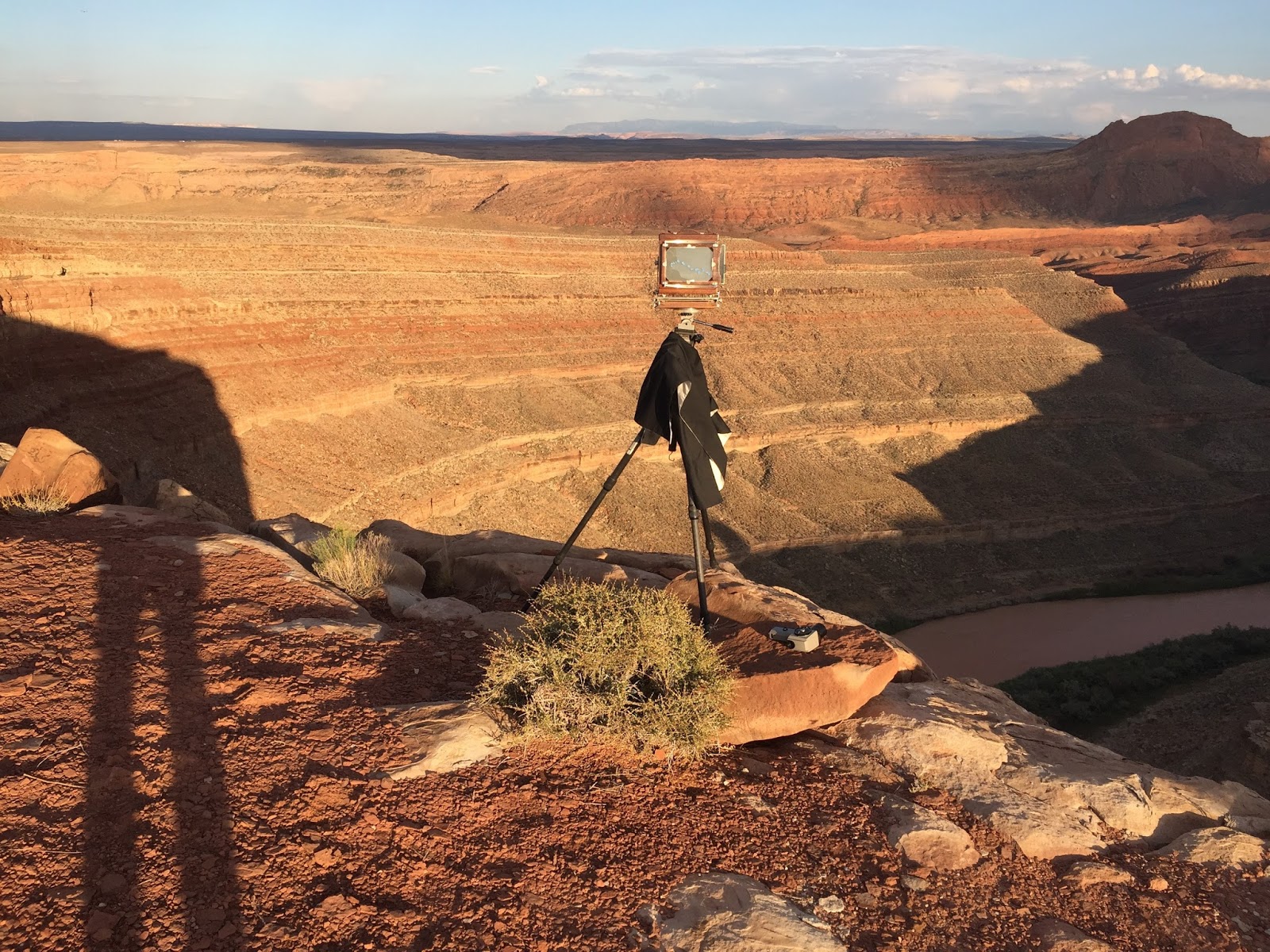
  Going West tomorrow to Zuni Pueblo to assist Chris Johnson on a video project he is doing.  Chris is writing a recommendation letter for a Guggenheim application I am putting in.  Will also see two more of my recommenders.  Just kicked the first part of that application off.  Now back West for a week, but I won't be doing my work, just driving Chris and seeing people.  I am taking my camera.


625 miles tomorrow to Santa Rosa, New Mexico and dinner at the Comet II restaurant.  God willing.

Mesa Verde

Finally the time was up and it was time to go home.  On the way I wanted to visit Mesa Verde and Aztec Ruins near Farmington.  It was mostly personal development, though I did try to meet the Artist in Residence co-ordinator.  Hadn't been to Mesa Verde in a while.  Spent a day there and camped.  No serious photography, just toured the museum and Balcony House and Cliff Palace.  Every time you go its a little more controlled for the tourists.  Beautiful spot and informative museum.  Woke up in the 4-runner the next morning and it was 48 degrees.  I drove down to see Aztec and took most of the tour.  Area to the North was closed due to a bear and cubs sighting.


Balcony House tourists.

Balcony House.


Finally pointed the 4-runner toward Smith County and punched "go home" on the Garmin.

Saturday, September 9, 2017

Bumming around Mexican Hat and the San Juan.

I checked out two other volcanic necks:  One West of Shiprock near Cove, Arizona and one just South of Mexican Hat, Utah.  Neither was to my liking.  I had to follow bare traces of a track, very rough, around the Mexican Hat volcanic neck.  It was hot, mid-day.  Touchy going and the road wasn't really a road, or even much of a track.  Google maps showed it but it was barely a hint.  On the backside I was forcing my way and ran into three donkeys.  Past them it just evaporated, so I got turned around and retraced my route.  It really wasn't anywhere for a non-4WD vehicle to be picking around anyway.  The neck might throw a great shadow and will have to give it another look.  It has some official name on maps, but have forgotten.

  Ate in Mexican Hat, at the grill at the bridge, bought an extra for dinner and headed out to explore other Google rumors of roads to the East of Mexican Hat. 

There was some of this, but I did see some areas I hadn't.  It was hot.

 Almost to back to Comb Ridge from Mexican Hat I found a turnoff that was supposed to be a loop that went back and hit the pavement nearer Mexican Hat.  It wasn't, but after some picking around I retreated from a useless track to a terrific view over the San Juan.  The turnoff is before a dry oxbow on the San Juan I had always wanted to see.  It was a spectacular point on a place nearly as nice as the Goosenecks State Park.  I parked there overnight.  Nobody around, nobody showed up, nobody had been there in a bit.  Views in all directions.  I'm on the North bank of the San Juan.  I think the river campsites have been closed due to Bighorn Sheep presence through this area, though I never saw any boats on the river, nor sheep, though I spent some time with binocs glassing for sheep.  I could hear a donkey calling to the East but never could locate him.  He called into the night.  I couldn't tell if he was in lust or peril.

I set up and went to work.

Looking West off my parking spot.


East View.


This trip was spent looking for BIG shadows.  Found all I could use.


Picking away at shadows on the river.


Big afternoon rainstorm blew through to cool things down a bit.

Friday, September 8, 2017

Shadow chasing.

  Climbed into the caldera with a little footwork.  It's not quite scaled for a human being. Everything a little too tall or too deep.  Rugged spot.  Since I was so remote I took extra care, but you can only limit the risk, not eliminate it.  The desiccated Horned Owl told that story.

  The neck was a natural astronomical observatory.  The views were East and West.  Great peaks and notches for shadow projection matched with significant stone features at just the right places.


West out of the caldera looking at a volcanic dike.  Bowl was full of bones from various raptors.


Worked all afternoon with the shadow.

One afternoon I just got a glimpse or two of the shadow.  The second afternoon I had the whole show.

Morning shadow to the West.

Afternoon out over the plains to the East.

Morning.


Mid-day.


The Keyhole as it hit the floor of the talus slope.


Spring foal that never saw the summer.  I gathered the scattered bones.

Two nights, one coming and one going.  Needs more work.  It takes me a while to get comfortable and see a site in various lighting.

Thursday, September 7, 2017

No-Name Neck.

  Since the first time I saw it in the early 70s I have admired a certain volcanic neck in SouthEast Utah.  They are scattered all over the country- usually lurking on some distant, inaccessible horizon line as you drive the paved road across the country.  I'd tried to find access to this one before, first on satellite maps and then in person.  On this trip, I had a little more confidence, having seen a tire track beside it on Google.  Leaving Shiprock I headed up and started trying to pick my way in.  
  Google maps, map quest, Garmin, all famous for NOT showing roads that do exist and showing roads that don't.  I went up and down the highway trying to find a gate.  Finally, with a printed photo and map in had, I went out a scetchy route that got worse and worse and finally dwindled to an occasional tire mark and lots of guessing.  I was very concerned with driving my street tires and 4-runner into some place I couldn't get out of.  Lots of parking and walking ahead to scout, then driving farther, parking and walking again.  I had to tiptoe down a steep finger into a valley that didn't really show on any terrain map.  Wash-outs, mud holes, slickrock, sand.  I finally broke out on a decent road as I circumnavigated the thing.  I had several more dead ends, trying tracks in the sagebrush...then all of a sudden I found the way in.  Very subtle.

  As I was looking at this view a Golden Eagle flew in and landed on a nest site on the neck.  This rugged silhouette is not visible from the paved road.

Then there it was.  The track got better as I got closer.  This is the SW side.  

View from the East.  I didn't know there was a keyhole until I was at this angle.

East face.

After a little pocking around I picked my way up the talus slope.  You can climb inside the old neck...with a little careful footwork.  I climbed over and checked bones under the eagle nest, then went up through the keyhole.  There was a desiccated male Great Horned Owl in a crevice.  Looks like raptors nest everywhere.

View out.  You can climb in from the East side through the keyhole, but not from the West.  

A distinctive dike to the West.

Keyhole looking East.

Rugged and steep inside and littered with bones tossed by the Eagles and Owls that nest there.

East side.

East side.

Northeast view. The track goes around it to a nice private place to park and sleep.  There's an amphitheater formation on the SW and West side.

Wednesday, September 6, 2017

Shiprock overnight.

  Shiprock is home base.  Wonderful to run my eye over long-familiar shapes and forms.  Old friends.  The rain, something I had come for, was blowing in and out.  I'd been trapped behind a waterfall once on the West face and gone to sleep while it roared over me.  Several times I had seen rainfall on the East side, but never seen the waterfalls there.  That changed.


Vintage Shiprock photo from eBay and 1940.  I don't think BIA 13 to Red Valley had been cut through the South Dike by then.  Most of the visitors came off 64 to the North.


The main East face fall.  Notice the little rivelet to the right.  Also one to the left.  A good downpour gets things flowing all around the rock, but just during the rain.  When it quite the run-off dries up in a minute or two.  This is after the rain, so I had already started to diminish.


Rock form I had never noticed.  Just takes morning light.

From a later and heavier rain.  Closer viewpoint.


Only lasts a few minutes.  I was frantically shooting film from inside the 4-runner.  I had 5X7 and Fuji 600T.


Later in the morning I headed North to Bluff.  When I drove off the rock, it looked like rain was over.   Looks like I could have had one more chance.